
Beginner's Guide to Reading Harbor Tides and Currents
A plain-language guide to reading tide tables and current charts, understanding slack water and springs, and choosing safe times to cross a harbor entrance.
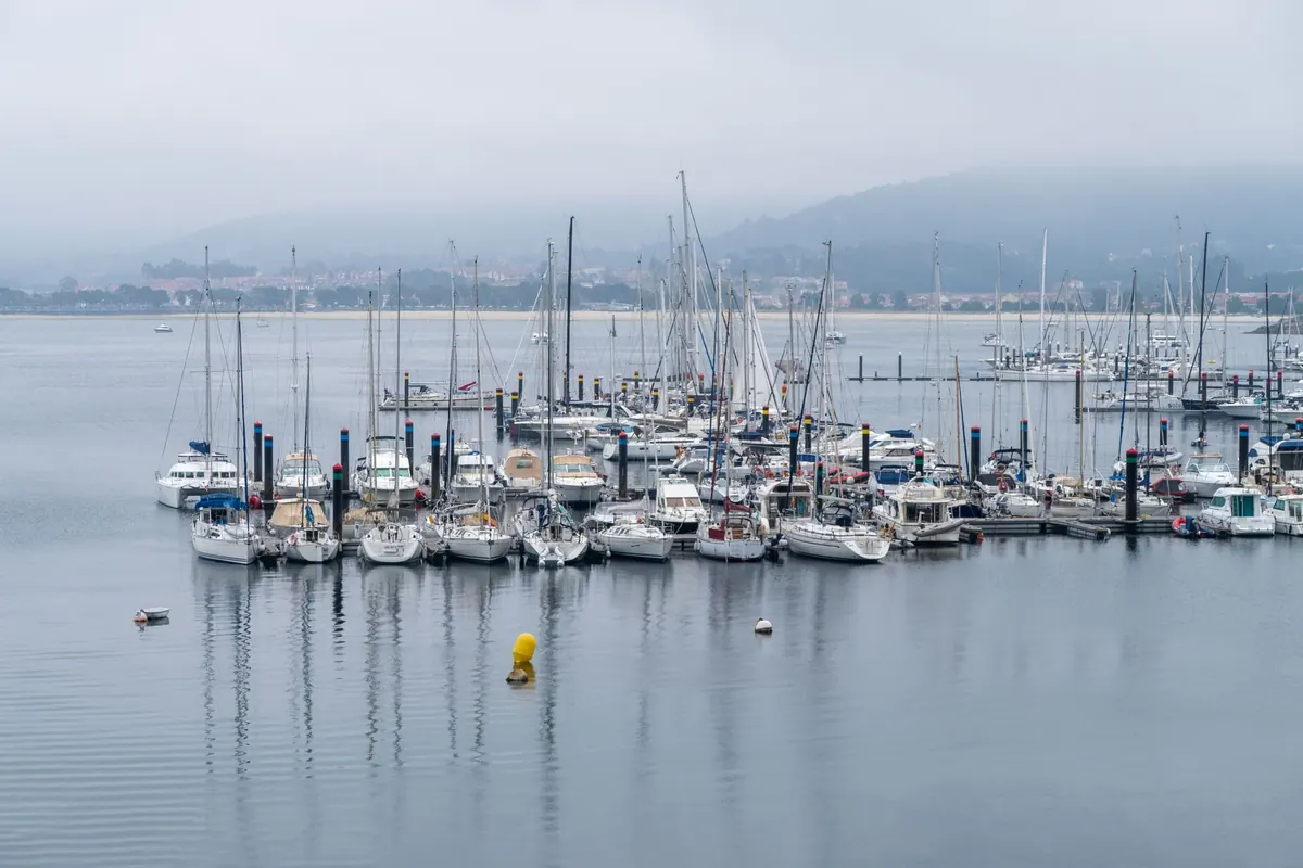
Stand at the end of a breakwater on a falling tide and you can feel the harbor breathing out. Water slides past the rocks, tugs at a stray line, slaps the corner of the wall. An hour later it is still sliding, and the depth you measured against the ladder rungs is gone. That movement — up and down, in and out — is what tide tables and current charts describe. Neither is difficult to read. They just punish guessing.
What follows is the working version for anyone new to harbor entrances: what the numbers mean, where to find the current, and how to pick a time to come in or go out.
Tide and Current Are Two Different Questions
The tide is the vertical movement of the water. The current is the horizontal movement. They are related, but they answer different questions, and mixing them up is the most common beginner's mistake.
Ask the tide table about depth and clearance: Is there enough water over the bar at the entrance? Will the bridge clear my mast? Can I get back into the slip at the end of the afternoon? Ask the current chart about steering and timing: Which way will the water push me, and how hard? Will I make ground speed or lose it?
In a narrow entrance the current often runs hardest around mid-tide and eases near high and low water. In a wide bay it can behave quite differently. Treat them as two separate lookups, then combine them when you plan.
How to Read a Tide Table
A tide table is a schedule of extremes — the times and heights of high and low water for each day. That is all it is. Everything else is arithmetic.
The four things to take from each line
- Time of high or low water, usually given to the minute.
- Height of that tide, measured above chart datum, not above the seabed and not above last night's waterline.
- Whether it is high or low, and whether the table marks the period as springs or neaps.
- Time zone. Printed tables generally use local standard time. If daylight saving is in force, the clock on your wall and the clock in the table disagree by an hour.
Datums, and why your depth is an addition problem
Charted depths are measured downward from chart datum. A spot sounding of two metres, under a tide of three metres, gives you five metres of water. Add, don't subtract. In most places chart datum sits close to the lowest tide reasonably expected — Lowest Astronomical Tide in many countries, Mean Lower Low Water on United States charts — so for most of the day there is more water than the chart promises, not less.
Secondary ports
If your harbor isn't a standard port, its table will list a reference port plus time and height differences. Add the time difference to the reference port's high and low water, then apply the height difference. It sounds fussy. It takes ninety seconds once you've done it a few times, and getting it wrong is how people arrive an hour early onto a falling tide.
High Water Is Not the Whole Story
Two facts surprise almost every beginner. First, the water does not rise at a steady rate. Second, the amount it rises changes from day to day.
The rule of twelfths is the rough shape of a tide. In the first hour after low water, about one twelfth of the total range comes in. The next hour brings two twelfths, the third three, the fourth three, the fifth two, and the final hour before high water just one. Half the water arrives in the middle two hours. Practically: if you need a depth window over a shallow sill, the beginning of a rising tide is the stingiest part of it, and waiting two hours buys you far more than waiting one.
Near high and low water the level barely moves for a while. That pause is called the stand of the tide, and it is a gift to anyone crossing a bar or threading a narrow entrance. Springs and neaps matter too. Around full and new moon the range grows; around the quarter moons it shrinks. In some harbors the spring range is nearly double the neap range, which means the timing that worked last week may not work this week.
Current Charts, Arrows, and Slack Water
On a chart, tidal current appears either as arrows keyed to a table of tidal stream data, or as numbered diamonds that refer you to a row of figures. You read the direction, then the speed in knots, for a particular hour relative to high water at a reference port. Flood and ebb are usually drawn in different styles so you can tell at a glance which way the water is heading.
If you have a tidal stream atlas for your area, it does the same job pictorially, page by page, hour by hour. For a first visit to an unfamiliar entrance, that is often easier to absorb than a table of numbers.
Slack water rarely coincides with high water
In a tight, shallow entrance the current often turns close to high and low water. In open water or across a wide bay, it can keep running for an hour or more after the tide has turned. The strongest flow usually sits somewhere between the extremes, not at them. Local knowledge beats theory here, so ask at the harbor office or the yacht club, and watch moored boats and channel markers for a few minutes before you commit.
Choosing a Time to Enter
- Start with the tide table. Note the times and heights of high water either side of your planned arrival, and work out the range.
- Add the current chart for the approaches. Pick the hour that corresponds to your arrival, and read direction and speed at the entrance itself, not just offshore.
- Compare the current with your boat's speed. A five-knot boat against a two-knot stream makes three knots over the ground. Plan your slowest leg into the tide, not with it.
- Choose your crossing point on the tide. For a bar or a shallow sill, aim for the stand of the tide near high water, or at least the middle hours of the flood.
- Check the wind. Wind blowing against the current builds short, steep chop, worst over shoals and in the entrance mouth.
- Decide your fallback first. If you miss the window, where will you wait? Deep water with sea room outside, or an anchor in a sheltered corner, beats pressing on into a falling tide.
Wind against tide
A fresh wind opposing a strong ebb is the classic recipe for an ugly entrance. The waves steepen, the boat slows, and the helm feels vague. Ease off the throttle, keep well clear of the shoal edges where the chop is worst, and be honest about whether waiting an hour is cheaper than the passage. Never cross a bar that is breaking.
A Routine Worth Keeping
Before every entry, do four things: read the tide table times and heights, note the range, check the current for the entrance and approaches at that hour, and look at the wind forecast for conflict with the stream. Write the numbers down rather than holding them in your head, especially the height of tide and your planned arrival. Then, when you get in, glance back at what the water actually did and compare it with what you expected. That habit, repeated a dozen times in the same harbor, turns a page of tables into something closer to instinct — and instinct, on a flooding tide at a strange entrance, is worth more than any app.
Photo: Javier Balseiro / Pexels